Click to visit the main New York Public Library Homepage
The New York Public Library
Digital Collections
About Digital Collections
Browse
Search only public domain materials
Items
Collections
Divisions
Home
Search
Browse
About
Search only public domain materials
Items
Collections
Divisions
Digital Collections
Using Images
Using Data
Search
Keyword search
Show filters
Hide filters
Show Only Public Domain
topic
Real property
11050
Fire insurance
5305
Cities & towns
5016
City planning
1101
Social conditions
946
More
Less
name
Sanborn Map Company
5108
G.W. Bromley & Co
2551
New York (N.Y.). City Planning Commission
980
M.I.T. Press
942
Bromley, George Washington
857
More
Less
collection
Atlases of New York City
11722
Atlases of the United States
3868
Maps of North America
3345
Maps of New York City and State
2059
Lawrence H. Slaughter Collection of English maps, charts, globes, books and atlases
1252
More
Less
place
New York (State)
14041
New York
5623
New York (N.Y.)
3511
Manhattan (New York, N.Y.)
2385
Brooklyn (New York, N.Y.)
1222
More
Less
genre
Maps
25787
Atlases
3791
Prints
1428
Topographic maps
1062
Surveys
1034
More
Less
publisher
Sanborn Map Company
5145
G.W. Bromley & Co
2371
MIT Press
942
E. Belcher Hyde
807
K.u.K. Militargeographisches Institut
774
More
Less
division
Map Division
23798
Manuscripts and Archives Division
1281
Wallach Division: Print Collection
746
Rare Book Division
518
Dorot Jewish Division
477
More
Less
type
cartographic
24808
still image
3785
text
2063
notated music
10
sound recording
3
More
Less
Date Range
to
Looking for one of these collections?
Atlases of New York City
11,722 items
Atlases of the United States
3,868 items
Maps of North America
3,345 items
Maps of New York City and State
2,059 items
Lawrence H. Slaughter Collection of English maps, charts, globes, books and atlases
1,252 items
Bancker plans
1,080 items
28,779 results found for:
maps
Sort by:
Relevance
Title
Date created
Date digitized
Sequence
Results 28751 - 28779
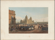
Genl. Scott's entrance into M…
Grund-Plan der Judengasse im …
Map
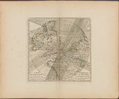
of borough of Queens
note:
…
map
of Queens Borough
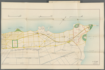
Southern part of the borough …
collection:
Maps
of New York City and State
Alexandria Municipality, 8th …
m
Vysot︠s︡ʹk: sefer zikaron
Bounded by W. 14th Street, Ni…
The Long Island City and Newt…
collection:
Maps
of New York City and State
Bounded by W. 214th Street, (…
Outline and Index
Map
of Volume Two
A
map
exhibiting the dark shadow of the moon
The northwesterly part of the…
collection:
Maps
of New York City and State
New-York City, County, and vi…
collection:
Maps
of New York City and State
m
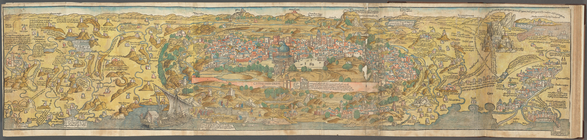
View of Jerusalem
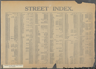
Street Index: [Abington Squar…
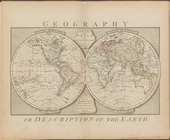
Geography
Geography, &c. [p. 2]
The district of Pelham Neck, …
collection:
Maps
of New York City and State
Bounded by Nichols Place, Pay…
Geography, &c. [p. 3]
Map
of New York City showing the spread
Bounded by W. 122nd Street, E…
Geography, &c. [p. 4]
Bounded by W. 184th Street, L…
Southeastern part of the boro…
collection:
Maps
of New York City and State
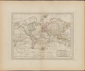
Geography, or description of …
note:
London: Printed for Robert Sayer,
Map
Map
of the borough of Brooklyn …
note:
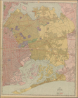
Color block demographic
map
showing ethnic
A new chart of the world on M…
The southwestern part of the …
collection:
Maps
of New York City and State
1
2
…
107
108
109
110
111
112
113
114
115
116
Previous
Next
1
2
…
107
108
109
110
111
112
113
114
115
116
Previous
Next