Click to visit the main New York Public Library Homepage
The New York Public Library
Digital Collections
About Digital Collections
Browse
Search only public domain materials
Items
Collections
Divisions
Home
Search
Browse
About
Search only public domain materials
Items
Collections
Divisions
Digital Collections
Using Images
Using Data
Collections
Charting America: Maps from the Lawrence H. Slaughter Collection and Others
Charting America: Maps from the Lawrence H. Slaughter Collection and Others
Navigation
Filters
Charting America: Maps from the Lawrence H. Slaughter Collection and Others
Previous
The south part of Virginia, now the north part of Carolina
0
Atlases, gazetteers, guidebooks and other books
377
Maps of the World
16
Maps of the Oceans
24
Maps of North and South America
23
Maps of North America.
551
Maps of New York City and State
1340
Lawrence H. Slaughter Collection of English maps, charts, globes, books and atlases
1020
John H. Levine Collection
60
More
Show filters
Hide filters
Show Only Public Domain
topic
Administrative and political divisions
306
Real property
299
Railroads
297
Landowners
215
City planning
127
More
Less
name
New York (N.Y.). Common Council
99
Valentine, D. T. (David Thomas), 1801-1869
49
Dripps, M. (Matthew)
42
Rand McNally and Company
40
G.W. & C.B. Colton & Co
36
More
Less
collection
Maps of New York City and State
1687
Lawrence H. Slaughter Collection of English maps, charts, globes, books and atlases
153
Atlases, gazetteers, guidebooks and other books
24
Maps of North and South America
23
John H. Levine Collection
19
More
Less
place
New York (State)
1224
New York (N.Y.)
652
New York
520
Manhattan (New York, N.Y.)
347
Brooklyn (New York, N.Y.)
266
More
Less
genre
Maps
1902
Cadastral maps
183
Manuscript maps
70
Aerial views
28
Road maps
28
More
Less
publisher
publisher not identified
118
s.n
56
G.W. & C.B. Colton & Co
31
M. Dripps
29
The Company
28
More
Less
division
Map Division
1908
Manuscripts and Archives Division
2
type
cartographic
1891
text
32
still image
31
Date Range
to
1,910 results found for:
New York (N.Y.)?tab=filter
Sort by:
Relevance
Title
Date created
Date digitized
Sequence
Results 501 - 550
Greater
New
York
and contigous territory, showing
use:
… partner (e.g.,
New
York
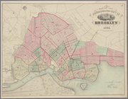
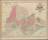
Map of the borough of Brooklyn, City of
New
York
…
use:
… partner (e.g.,
New
York
N
.
Y
State Survey
use:
… partner (e.g.,
New
York
Map of the City of
New
-
York
with part
use:
… partner (e.g.,
New
York
Green-Wood Cemetery, 1886
use:
… partner (e.g.,
New
York
Map (A) of West Washington Ma…
use:
… partner (e.g.,
New
York
Map of Hamilton, St. Lawrence…
use:
… partner (e.g.,
New
York
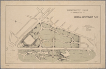
University Park, Brooklyn,
N
.
Y
.
use:
… partner (e.g.,
New
York
Map of Hamilton, St. Lawrence…
use:
… partner (e.g.,
New
York
Map of the consolidated city …
use:
… partner (e.g.,
New
York
Map of the consolidated city …
use:
… partner (e.g.,
New
York
Southern part of Yonkers, and…
use:
… partner (e.g.,
New
York
Driving road chart of Westche…
use:
… partner (e.g.,
New
York
Williams' map of Borough of B…
use:
… partner (e.g.,
New
York
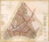
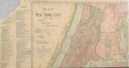
Map of
New
York
City
use:
… partner (e.g.,
New
York
m
… of
New
York
: the imperial city of the
new
use:
… partner (e.g.,
New
York
Map of 285 sections of ground…
use:
… partner (e.g.,
New
York
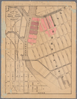
Map of the borough of Manhatt…
use:
… partner (e.g.,
New
York
m
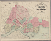
Map of the borough of Brooklyn,
N
.
Y
use:
… partner (e.g.,
New
York
m
The Rand McNally map of the b…
use:
… partner (e.g.,
New
York
Map of part of Orange County,
New
York
use:
… partner (e.g.,
New
York
G. Woolworth Colton's
new
map of
New
York
use:
… partner (e.g.,
New
York
… County,
New
York
; plan of Ulster County,
New
York
use:
… partner (e.g.,
New
York
… facilities in Greater
New
York
…
use:
… partner (e.g.,
New
York
m
… of
New
York
lying
use:
… partner (e.g.,
New
York
… of northern
New
York
use:
… partner (e.g.,
New
York
… the City of
New
York
…
use:
… partner (e.g.,
New
York
… of Queens,
New
York
City …
use:
… partner (e.g.,
New
York
Map of the consolidated city …
use:
… partner (e.g.,
New
York
… Amsterdam (now
New
York
), A
use:
… partner (e.g.,
New
York
Map showing location of lands…
use:
… partner (e.g.,
New
York
Sketch map of the city of
New
York
use:
… partner (e.g.,
New
York
Map of water shed of Housaton…
use:
… partner (e.g.,
New
York
Map of Jamaica Fells : fourth…
use:
… partner (e.g.,
New
York
Map of the borough of Manhatt…
use:
… partner (e.g.,
New
York
m
Map of Brooklyn and vicinity
use:
… partner (e.g.,
New
York
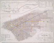
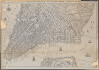
Map of the city of
New
York
, 1850
use:
… partner (e.g.,
New
York
m
Map of Kings County: showing …
use:
… partner (e.g.,
New
York
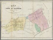
Map of the town of Flatbush, …
use:
… partner (e.g.,
New
York
Map of lands in the city of
New
York
, lying
use:
… partner (e.g.,
New
York
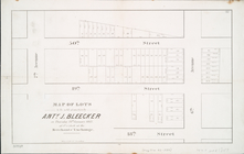
… at the Merchants' Exchange : [
New
York
City].
use:
… partner (e.g.,
New
York
m
New
map of
New
York
City
use:
… partner (e.g.,
New
York
Map of the city of
New
York
use:
… partner (e.g.,
New
York
m
Map of the city of Brooklyn
use:
… partner (e.g.,
New
York
Map of the city of Brooklyn
use:
… partner (e.g.,
New
York
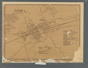
Jamaica
use:
… partner (e.g.,
New
York
Map of property owned by Fran…
use:
… partner (e.g.,
New
York
Map of
New
York
City
use:
… partner (e.g.,
New
York
A plott of ye situations of t…
use:
… partner (e.g.,
New
York
… of
New
York
in North
use:
… partner (e.g.,
New
York
1
2
3
4
5
6
7
8
Previous
Next
1
2
3
4
5
6
7
8
Previous
Next