Click to visit the main New York Public Library Homepage
The New York Public Library
Digital Collections
About Digital Collections
Browse
Search only public domain materials
Items
Collections
Divisions
Home
Search
Browse
About
Search only public domain materials
Items
Collections
Divisions
Digital Collections
Using Images
Using Data
Collections
Charting America: Maps from the Lawrence H. Slaughter Collection and Others
Charting America: Maps from the Lawrence H. Slaughter Collection and Others
Navigation
Filters
Charting America: Maps from the Lawrence H. Slaughter Collection and Others
Previous
The south part of Virginia, now the north part of Carolina
0
Atlases, gazetteers, guidebooks and other books
377
Maps of the World
16
Maps of the Oceans
24
Maps of North and South America
23
Maps of North America.
551
Maps of New York City and State
1340
Lawrence H. Slaughter Collection of English maps, charts, globes, books and atlases
1020
John H. Levine Collection
60
More
Show filters
Hide filters
Show Only Public Domain
topic
Administrative and political divisions
306
Real property
299
Railroads
297
Landowners
215
City planning
127
More
Less
name
New York (N.Y.). Common Council
99
Valentine, D. T. (David Thomas), 1801-1869
49
Dripps, M. (Matthew)
42
Rand McNally and Company
40
G.W. & C.B. Colton & Co
36
More
Less
collection
Maps of New York City and State
1687
Lawrence H. Slaughter Collection of English maps, charts, globes, books and atlases
153
Atlases, gazetteers, guidebooks and other books
24
Maps of North and South America
23
John H. Levine Collection
19
More
Less
place
New York (State)
1224
New York (N.Y.)
652
New York
520
Manhattan (New York, N.Y.)
347
Brooklyn (New York, N.Y.)
266
More
Less
genre
Maps
1902
Cadastral maps
183
Manuscript maps
70
Aerial views
28
Road maps
28
More
Less
publisher
publisher not identified
118
s.n
56
G.W. & C.B. Colton & Co
31
M. Dripps
29
The Company
28
More
Less
division
Map Division
1908
Manuscripts and Archives Division
2
type
cartographic
1891
text
32
still image
31
Date Range
to
1,910 results found for:
New York (N.Y.)?tab=filter
Sort by:
Relevance
Title
Date created
Date digitized
Sequence
Results 1251 - 1300
m
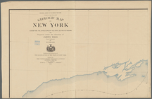
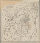
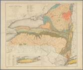
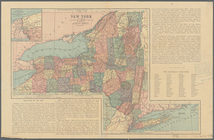
Preliminary geologic map of
New
York
use:
… partner (e.g.,
New
York
m
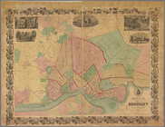
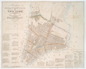
Map of the city of
New
York
and island
use:
… partner (e.g.,
New
York
A plan of
New
York
use:
… partner (e.g.,
New
York
Map of Broome County,
New
York
use:
… partner (e.g.,
New
York
m
Upper Nyack
use:
… partner (e.g.,
New
York
m
Map of Albany County,
New
York
use:
… partner (e.g.,
New
York
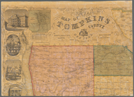
m
Map of Tompkins County,
New
York
use:
… partner (e.g.,
New
York
Plan of the city of
New
York
in North
use:
… partner (e.g.,
New
York
Part of Wards 3 & 4, Yonkers
use:
… partner (e.g.,
New
York
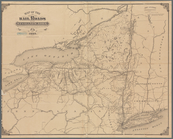
Colton's Map of the
New
York
Wilderness
use:
… partner (e.g.,
New
York
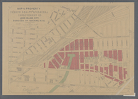
Diagram showing the relative …
use:
… partner (e.g.,
New
York
Map showing a part of Brookly…
use:
… partner (e.g.,
New
York
m
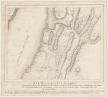
…, Borough of Queens,
N
.
Y
. C.
use:
… partner (e.g.,
New
York
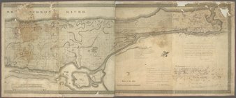
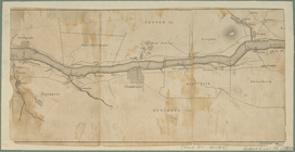
Map of the Hudson River from …
use:
… partner (e.g.,
New
York
Phelp's
new
map of the city of Brooklyn
use:
… partner (e.g.,
New
York
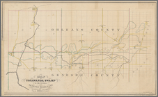
Map of Tonawanda Swamp in the…
use:
… partner (e.g.,
New
York
… of
New
York
showing
use:
… partner (e.g.,
New
York
[Map of the Hudson River] pre…
use:
… partner (e.g.,
New
York
… of
New
York
use:
… partner (e.g.,
New
York
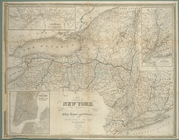
Map of the state of
New
York
: showing
use:
… partner (e.g.,
New
York
Map of the state of
New
York
: showing
use:
… partner (e.g.,
New
York
March of the Queens Rangers: …
use:
… partner (e.g.,
New
York
m
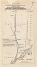
… : with the post roads between
N
.
York
& Albany
use:
… partner (e.g.,
New
York
A plan of
New
York
use:
… partner (e.g.,
New
York
Map of the Vilas Preserve and…
use:
… partner (e.g.,
New
York
Lake Pleasant, - C.H. formerl…
use:
… partner (e.g.,
New
York
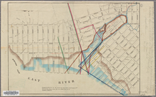
Map of Newtown Creek and vici…
use:
… partner (e.g.,
New
York
Lake George, Fort Ticonderoga…
use:
… partner (e.g.,
New
York
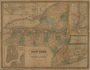
Map of the state of
New
York
: showing
use:
… partner (e.g.,
New
York
A map of the county between C…
use:
… partner (e.g.,
New
York
m
Map of the highlands of the H…
use:
… partner (e.g.,
New
York
Plan of the city of
New
York
use:
… partner (e.g.,
New
York
Map of the
New
York
wilderness
use:
… partner (e.g.,
New
York
Colton's map of the
New
York
wilderness
use:
… partner (e.g.,
New
York
New
-
York
and vicinity as proposed
use:
… partner (e.g.,
New
York
m
The Hudson by daylight map, from
New
York
use:
… partner (e.g.,
New
York
The Hudson by daylight map, from
New
York
use:
… partner (e.g.,
New
York
m
… to the port of
New
York
use:
… partner (e.g.,
New
York
… of Waterloo, Seneca County,
N
.
Y
.
use:
… partner (e.g.,
New
York
… of property in
New
York
City].
use:
… partner (e.g.,
New
York
….,
New
-
York
use:
… partner (e.g.,
New
York
m
New
map of that part of the city of
New
use:
… partner (e.g.,
New
York
City of
New
-
York
use:
… partner (e.g.,
New
York
New
-
York
use:
… partner (e.g.,
New
York
[Map of]
New
York
[State]
use:
… partner (e.g.,
New
York
… in the province of
New
Jersey
use:
… partner (e.g.,
New
York
Hooker's
new
pocket plan of the city of
New
use:
… partner (e.g.,
New
York
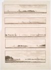
Views of the entrance to
New
York
use:
… partner (e.g.,
New
York
… Springs, Saratoga Co.,
New
York
use:
… partner (e.g.,
New
York
… of twelve miles around
New
-
York
: with the names
use:
… partner (e.g.,
New
York
1
2
3
4
5
6
7
8
Previous
Next
1
2
3
4
5
6
7
8
Previous
Next