Click to visit the main New York Public Library Homepage
The New York Public Library
Digital Collections
About Digital Collections
Browse
Search only public domain materials
Items
Collections
Divisions
Home
Search
Browse
About
Search only public domain materials
Items
Collections
Divisions
Digital Collections
Using Images
Using Data
Collections
Charting America: Maps from the Lawrence H. Slaughter Collection and Others
Charting America: Maps from the Lawrence H. Slaughter Collection and Others
Navigation
Filters
Charting America: Maps from the Lawrence H. Slaughter Collection and Others
Previous
The south part of Virginia, now the north part of Carolina
0
Atlases, gazetteers, guidebooks and other books
377
Maps of the World
16
Maps of the Oceans
24
Maps of North and South America
23
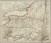
Maps of North America.
551
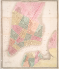
Maps of New York City and State
1340
Lawrence H. Slaughter Collection of English maps, charts, globes, books and atlases
1020
John H. Levine Collection
60
More
Show filters
Hide filters
Show Only Public Domain
topic
Administrative and political divisions
306
Real property
299
Railroads
297
Landowners
215
City planning
127
More
Less
name
New York (N.Y.). Common Council
99
Valentine, D. T. (David Thomas), 1801-1869
49
Dripps, M. (Matthew)
42
Rand McNally and Company
40
G.W. & C.B. Colton & Co
36
More
Less
collection
Maps of New York City and State
1687
Lawrence H. Slaughter Collection of English maps, charts, globes, books and atlases
153
Atlases, gazetteers, guidebooks and other books
24
Maps of North and South America
23
John H. Levine Collection
19
More
Less
place
New York (State)
1224
New York (N.Y.)
652
New York
520
Manhattan (New York, N.Y.)
347
Brooklyn (New York, N.Y.)
266
More
Less
genre
Maps
1902
Cadastral maps
183
Manuscript maps
70
Aerial views
28
Road maps
28
More
Less
publisher
publisher not identified
118
s.n
56
G.W. & C.B. Colton & Co
31
M. Dripps
29
The Company
28
More
Less
division
Map Division
1908
Manuscripts and Archives Division
2
type
cartographic
1891
text
32
still image
31
Date Range
to
1,910 results found for:
New York (N.Y.)?tab=filter
Sort by:
Relevance
Title
Date created
Date digitized
Sequence
Results 1001 - 1050
… the City of
New
York
…
use:
… partner (e.g.,
New
York
Plate II. Sketches of village…
use:
… partner (e.g.,
New
York
Plate IV. Sketches of village…
use:
… partner (e.g.,
New
York
Town of Greenburgh: Westchest…
use:
… partner (e.g.,
New
York
m
… manuscript map of
New
York
use:
… partner (e.g.,
New
York
m
Map of Kings County, includin…
use:
… partner (e.g.,
New
York
A plan of
New
York
Island, part of Long
use:
… partner (e.g.,
New
York
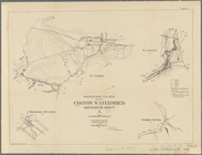
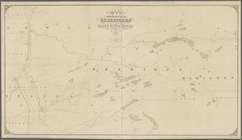
Water shed of the Croton River
use:
… partner (e.g.,
New
York
Map of Bellaire Estates : own…
use:
… partner (e.g.,
New
York
m
Stony Point and Verplanck's P…
use:
… partner (e.g.,
New
York
…, Westchester Co.,
N
.
Y
.
use:
… partner (e.g.,
New
York
Middle division of the Erie C…
use:
… partner (e.g.,
New
York
m
… and island of
New
York
use:
… partner (e.g.,
New
York
A plan of
New
York
use:
… partner (e.g.,
New
York
m
Metropolitan district local a…
use:
… partner (e.g.,
New
York
Map showing the only all rail…
use:
… partner (e.g.,
New
York
m
…, Long Island,
N
.
Y
.
use:
… partner (e.g.,
New
York
Hagstrom's
New
York
house-number and subway
use:
… partner (e.g.,
New
York
… of
New
York
use:
… partner (e.g.,
New
York
m
The Tenement-House Committee …
use:
… partner (e.g.,
New
York
Plan von
New
-
York
, 1844.
use:
… partner (e.g.,
New
York
… County,
New
York
use:
… partner (e.g.,
New
York
Railroad map of the State of
New
York
use:
… partner (e.g.,
New
York
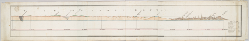
Tibbits Brook route.
use:
… partner (e.g.,
New
York
City of
New
-
York
use:
… partner (e.g.,
New
York
… in the city of Albany,
N
.
Y
.
use:
… partner (e.g.,
New
York
Map showing location of reser…
use:
… partner (e.g.,
New
York
… of
New
York
City.
use:
… partner (e.g.,
New
York
New
map of Brooklyn and vicinity …
use:
… partner (e.g.,
New
York
Plate III : Sketches of villa…
use:
… partner (e.g.,
New
York
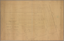
Map of property situated in t…
use:
… partner (e.g.,
New
York
Western Division of the Erie …
use:
… partner (e.g.,
New
York
m
Map of lots near Prospect Par…
use:
… partner (e.g.,
New
York
m
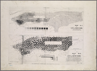
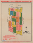
20th ward.
use:
… partner (e.g.,
New
York
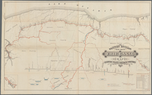
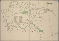
Guide Map to the Brooklyn and…
use:
… partner (e.g.,
New
York
… : with that part of
New
York
, Long
use:
… partner (e.g.,
New
York
… : with that part of
New
York
, Long
use:
… partner (e.g.,
New
York
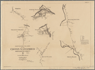
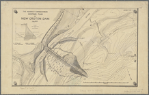
… of
new
Croton dam
use:
… partner (e.g.,
New
York
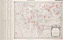
Map of the city and county of
New
York
use:
… partner (e.g.,
New
York
A chart of
New
York
Harbour : with the banks
use:
… partner (e.g.,
New
York
The Matthews-Northrup Co.'s
new
map
use:
… partner (e.g.,
New
York
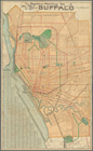
A
new
map of the city of Buffalo
use:
… partner (e.g.,
New
York
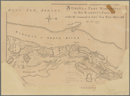
Attacks of Fort Washington by…
use:
… partner (e.g.,
New
York
…, Westchester Co.,
N
.
Y
.
use:
… partner (e.g.,
New
York
Colton's road map of Long Isl…
use:
… partner (e.g.,
New
York
m
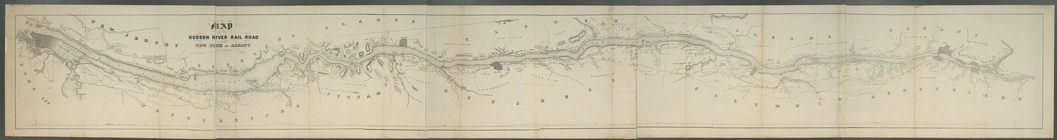
… River Rail Road from
New
York
to Albany
use:
… partner (e.g.,
New
York
… of the city of
New
York
use:
… partner (e.g.,
New
York
A landmark map of City Hall Park
New
York
…
use:
… partner (e.g.,
New
York
m
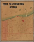
Fort Washington section.
use:
… partner (e.g.,
New
York
m
… of the
New
York
and Sea Beach
use:
… partner (e.g.,
New
York
1
2
3
4
5
6
7
8
Previous
Next
1
2
3
4
5
6
7
8
Previous
Next