Click to visit the main New York Public Library Homepage
The New York Public Library
Digital Collections
About Digital Collections
Browse
Search only public domain materials
Items
Collections
Divisions
Home
Search
Browse
About
Search only public domain materials
Items
Collections
Divisions
Digital Collections
Using Images
Using Data
Search
Filtered keyword search
Show filters
Hide filters
Show Only Public Domain
topic
Real property
10889
Fire insurance
5305
Cities & towns
5007
City planning
1087
Social conditions
942
More
Less
name
Sanborn Map Company
5108
G.W. Bromley & Co
2551
New York (N.Y.). City Planning Commission
980
M.I.T. Press
942
Bromley, George Washington
857
More
Less
collection
Atlases of New York City
11592
Atlases of the United States
3839
Maps of North America
3345
Maps of New York City and State
2057
Lawrence H. Slaughter Collection of English maps, charts, globes, books and atlases
1248
More
Less
place
New York (State)
13151
New York
4862
New York (N.Y.)
3351
Manhattan (New York, N.Y.)
2239
Brooklyn (New York, N.Y.)
1212
More
Less
genre
Maps
23265
Atlases
3762
Topographic maps
1050
Cadastral maps
594
Nautical charts
394
More
Less
publisher
Sanborn Map Company
5145
G.W. Bromley & Co
2371
MIT Press
942
E. Belcher Hyde
807
K.u.K. Militargeographisches Institut
774
More
Less
division
x
Map Division
type
cartographic
22270
still image
1222
text
755
Date Range
to
Looking for one of these collections?
Atlases of New York City
11,722 items
Atlases of the United States
3,868 items
Maps of North America
3,345 items
Maps of New York City and State
2,059 items
Lawrence H. Slaughter Collection of English maps, charts, globes, books and atlases
1,252 items
Spezialkarte der Osterreichisch-Ungarischen Monarchie
774 items
23,798 results found for:
x
map
Filtering on:
x
Division
: Map Division
Sort by:
Relevance
Title
Date created
Date digitized
Sequence
Results 23251 - 23300
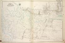
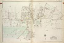
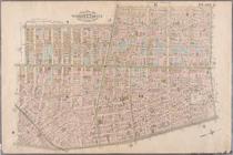
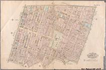
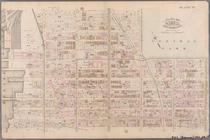
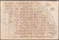
Plate 43, Part of Ward 3 [
Map
bound
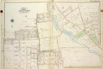
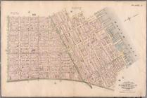
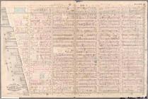
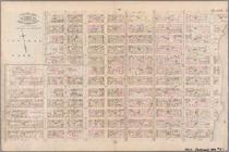
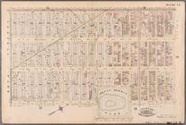
Plate 26, Part of Ward 1 [
Map
bound
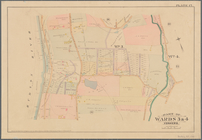
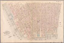
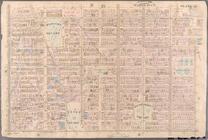
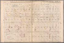
Plate 24, Part of Wards 1 & 3 [
Map
bound
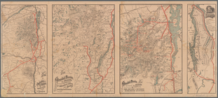
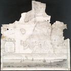
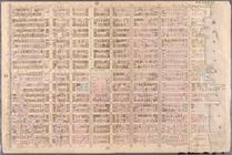
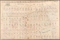
Part of Wards 3 & 4, Yonkers
note:
Mapping
the Nation (NEH grant, 2015-2018)…
Town & village of Ovid, Senec…
note:
Wall
map
showing city wards
m
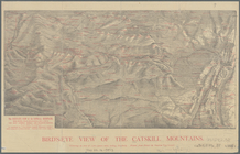
Bird's-eye view of the Catski…
note:
… of the Catskills" ; ancillary "
Map
m
Map
& plan of the contemplated widening
Maps
showing the Delaware and Hudson
note:
Mapping
the Nation (NEH grant, 2015-2018)…
Northern coast of Long Island…
note:
Mapping
the Nation (NEH grant, 2015-2018)…
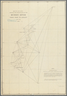
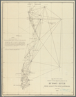
Sketch of the triangulation o…
note:
Mapping
the Nation (NEH grant, 2015-2018)…
m
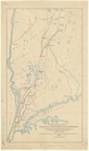
Flushing Bay, Long Island, N.…
collection:
Maps
of New York City and State
Map
of the city & county of New York
Sketch of the triangulation o…
note:
Mapping
the Nation (NEH grant, 2015-2018)…
Bird's eye view of Philadelph…
note:
… catalog of the
Map
m
Three
maps
of the property known as Valley
note:
Mapping
the Nation (NEH grant, 2015-2018)…
A
map
of the most inhabited part of Virginia
note:
…. This
map
is most humbly
Map
of the centennial grounds
note:
… catalog of the
Map
Map
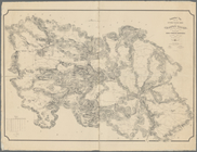
of water shed of Housatonic, Croton, Bronx
note:
… of rain-fall, Etc.,
map
showing
Topographical
map
showing the entire water
note:
Mapping
the Nation (NEH grant, 2015-2018)…
m
The State of New York: from n…
note:
…: Meteorological
map
of the state
A plan of Fort Montgomery & F…
note:
… to Early
Maps
of the Middle
Plan of the city of New York …
note:
Copy in
Map
div. 97-6242: imperfect
m
The State of New York: from n…
note:
…: Meteorological
map
of the state
m
Map
of the hydrographical basin of the upper
image:
ps_
map
_cd4_47
Territory of Dakota
note:
… catalog of the
Map
m
Gillette's
map
of Oneida Co., New York
note:
County
map
showing rural buildings
Map
of 163 sections or villa sites and a plot
note:
…"For
maps
& particulars, apply to Oakley
m
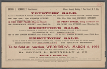
Trustees' Sale by order of Wa…
collection:
Maps
of New York City and State
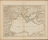
First part of Turkey in Europ…
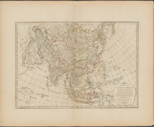
Asia, divided into its princi…
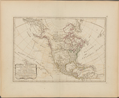
North America, with the West …
m
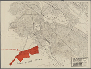
Auction Sale of Bronx Residen…
collection:
Maps
of New York City and State
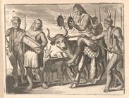
The principal elements of the…
Their Shepherds ride upon a B…
collection:
… of English
maps
, charts
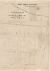
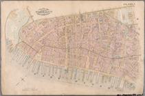
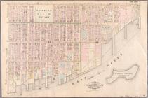
Plate 1: Bounded by Battery P…
Plate 3: Bounded by West Stre…
Plate 4: West Broadway, Canal…
Plate 5: Bounded by Clinton S…
Plate 6: Bounded by Rutgers S…
Plate 7: Bounded by Avenue A,…
Plate 9: Bounded by Fourth Av…
Plate 11: Bounded by W. 27th …
Plate 12: Bounded by W. 27th …
Plate 13: Bounded by W. 40th …
Plate 17: Bounded by W. 64th …
Plate 18: Bounded by E. 64th …
Plate 24: Bounded by Twelfth …
Plate 25: Bounded by Hudson R…
Plate 26: Bounded by E. 128th…
Plate 27: Bounded by Eighth A…
1
2
…
87
88
89
90
91
92
93
94
95
96
Previous
Next
1
2
…
87
88
89
90
91
92
93
94
95
96
Previous
Next