Click to visit the main New York Public Library Homepage
The New York Public Library
Digital Collections
About Digital Collections
Browse
Search only public domain materials
Items
Collections
Divisions
Home
Search
Browse
About
Search only public domain materials
Items
Collections
Divisions
Digital Collections
Using Images
Using Data
Search
Keyword search
Show filters
Hide filters
Show Only Public Domain
topic
Real property
11050
Fire insurance
5305
Cities & towns
5016
City planning
1101
Social conditions
946
More
Less
name
Sanborn Map Company
5108
G.W. Bromley & Co
2551
New York (N.Y.). City Planning Commission
980
M.I.T. Press
942
Bromley, George Washington
857
More
Less
collection
Atlases of New York City
11722
Atlases of the United States
3868
Maps of North America
3345
Maps of New York City and State
2059
Lawrence H. Slaughter Collection of English maps, charts, globes, books and atlases
1252
More
Less
place
New York (State)
14041
New York
5623
New York (N.Y.)
3511
Manhattan (New York, N.Y.)
2385
Brooklyn (New York, N.Y.)
1222
More
Less
genre
Maps
25787
Atlases
3791
Prints
1428
Topographic maps
1062
Surveys
1034
More
Less
publisher
Sanborn Map Company
5145
G.W. Bromley & Co
2371
MIT Press
942
E. Belcher Hyde
807
K.u.K. Militargeographisches Institut
774
More
Less
division
Map Division
23798
Manuscripts and Archives Division
1281
Wallach Division: Print Collection
746
Rare Book Division
518
Dorot Jewish Division
477
More
Less
type
cartographic
24808
still image
3785
text
2063
notated music
10
sound recording
3
More
Less
Date Range
to
Looking for one of these collections?
Atlases of New York City
11,722 items
Atlases of the United States
3,868 items
Maps of North America
3,345 items
Maps of New York City and State
2,059 items
Lawrence H. Slaughter Collection of English maps, charts, globes, books and atlases
1,252 items
Bancker plans
1,080 items
28,779 results found for:
maps
Sort by:
Relevance
Title
Date created
Date digitized
Sequence
Results 25001 - 25050
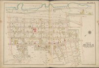
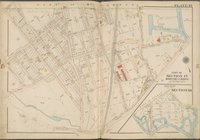
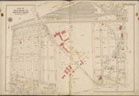
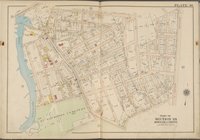
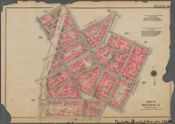
Plate 3 [
Map
bounded by Webster Ave., E
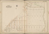
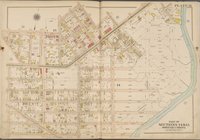
Plate 4 [
Map
bounded by Barnes Ave., E
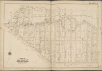
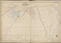
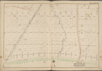
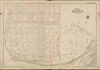
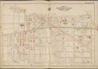
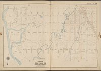
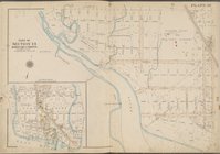
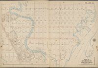
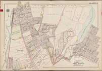
Plate 5 [
Map
bounded by Bronx River
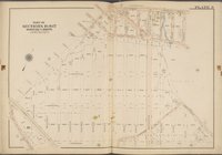
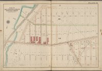
Plate 6 [
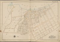
Map
bounded by Bronx River
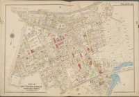
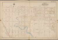
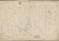
Plate 7 [
Map
bounded by Penfield St
Plate 8 [
Map
bounded by Pitman Ave
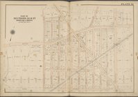
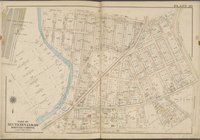
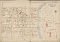
Plate 9 [
Map
bounded by Strang Ave
Plate 10 [
Map
bounded by Dark St
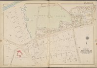
Plate 11 [
Map
bounded by Boston Rd
Plate 12 [
Map
bounded by Needham Ave
Plate 13 [
Map
bounded by Burke Ave
Plate 14 [
Map
bounded by Grace Ave
Plate 15 [
Map
bounded by Gunn Hill Rd
Plate 16 [
Map
bounded by Burke Ave
Plate 17 [
Map
bounded by Allerton Ave
Plate 18 [
Map
bounded by Allerton Ave
Plate 19 [
Map
bounded by Grace Ave
Plate 20 [
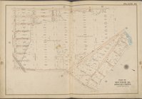
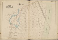
Map
bounded by Hutchinson
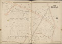
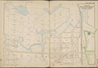
Plate 21 [
Map
bounded by Bronx & Pelham
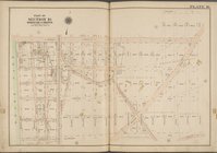
Plate 22 [
Map
bounded by Bronx & Pelham
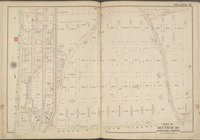
Plate 23 [
Map
bounded by Bronx & Pelham
Plate 24 [
Map
bounded by Bear Swamp Rd
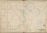
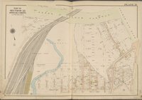
Plate 25 [
Map
bounded by E. 180th St
Plate 26 [
Map
bounded by West Farms Rd
Plate 27 [
Map
bounded by Rhinelander Ave
Plate 28 [
Map
bounded by Sacket Ave
Plate 29 [
Map
bounded by Morris Park Ave
Plate 30 [
Map
bounded by Zulette Ave
Plate 31 [
Map
bounded by Zerega Ave
Plate 32 [
Map
bounded by E. 174th St
Plate 33 [
Map
bounded by E. 174th St
Plate 34 [
Map
bounded by Watson Ave
Plate 35 [
Map
bounded by Watson Ave
Plate 36 [
Map
bounded by Watson Ave
Plate 37 [
Map
bounded by Whittemore Ave
Plate 38 [
Map
bounded by Lafayette Ave
Plate 39 [
Map
bounded by Lafayette Ave
Plate 40 [
Map
bounded by Pelham Bay
Plate 41 [
Map
bounded by Long Island
Plate 42 [
Map
bounded by Fort Schuyler
m
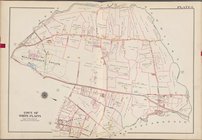
Plate 17 [
Map
bounded by Washington
m
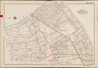
Plate 18 [
Map
bounded by Waverly Place
Bounded by Barrow Street, Ble…
… [
Map
bounded
… [
Map
bounded by Fisher
… [
Map
bounded by Toen
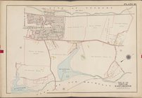
… [
Map
bounded by City
… [
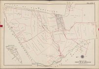
Map
bounded by Town
… [
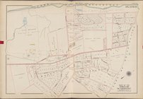
Map
bounded by Town
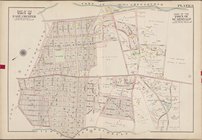
… [
Map
bounded by City
1
2
…
98
99
100
101
102
103
104
105
…
115
116
Previous
Next
1
2
…
98
99
100
101
102
103
104
105
…
115
116
Previous
Next