Click to visit the main New York Public Library Homepage
The New York Public Library
Digital Collections
About Digital Collections
Browse
Search only public domain materials
Items
Collections
Divisions
Home
Search
Browse
About
Search only public domain materials
Items
Collections
Divisions
Digital Collections
Using Images
Using Data
Search
Keyword search
Show filters
Hide filters
Show Only Public Domain
topic
Real property
11050
Fire insurance
5305
Cities & towns
5016
City planning
1101
Social conditions
946
More
Less
name
Sanborn Map Company
5108
G.W. Bromley & Co
2551
New York (N.Y.). City Planning Commission
980
M.I.T. Press
942
Bromley, George Washington
857
More
Less
collection
Atlases of New York City
11722
Atlases of the United States
3868
Maps of North America
3345
Maps of New York City and State
2059
Lawrence H. Slaughter Collection of English maps, charts, globes, books and atlases
1252
More
Less
place
New York (State)
14041
New York
5623
New York (N.Y.)
3511
Manhattan (New York, N.Y.)
2385
Brooklyn (New York, N.Y.)
1222
More
Less
genre
Maps
25787
Atlases
3791
Prints
1428
Topographic maps
1062
Surveys
1034
More
Less
publisher
Sanborn Map Company
5145
G.W. Bromley & Co
2371
MIT Press
942
E. Belcher Hyde
807
K.u.K. Militargeographisches Institut
774
More
Less
division
Map Division
23798
Manuscripts and Archives Division
1281
Wallach Division: Print Collection
746
Rare Book Division
518
Dorot Jewish Division
477
More
Less
type
cartographic
24808
still image
3785
text
2063
notated music
10
sound recording
3
More
Less
Date Range
to
Looking for one of these collections?
Atlases of New York City
11,722 items
Atlases of the United States
3,868 items
Maps of North America
3,345 items
Maps of New York City and State
2,059 items
Lawrence H. Slaughter Collection of English maps, charts, globes, books and atlases
1,252 items
Bancker plans
1,080 items
28,779 results found for:
maps
Sort by:
Relevance
Title
Date created
Date digitized
Sequence
Results 2001 - 2050
m
…. Young looking at
map
m
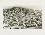
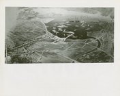
Fairgrounds - Sketches,
Maps
and Plans
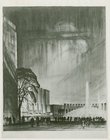
m
Fairgrounds - Sketches,
Maps
and Plans
m
Fairgrounds - Sketches,
Maps
and Plans
m
…
map
m
Fairgrounds - Sketches,
Maps
and Plans
m
Fairgrounds - Sketches,
Maps
and Plans
m
Fairgrounds - Sketches,
Maps
and Plans
m
Fairgrounds - Sketches,
Maps
and Plans
m
American Telephone & Telegraph Exhibit -
Map
m
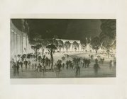
Fairgrounds - Sketches,
Maps
and Plans
m
Fairgrounds - Sketches,
Maps
and Plans
m
Fairgrounds - Sketches,
Maps
and Plans
m
Fairgrounds - Sketches,
Maps
and Plans
Chicago 1933
San Francisco 1915
Buffalo 1901
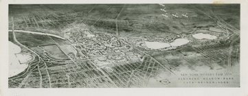
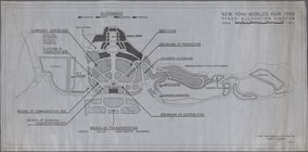
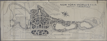
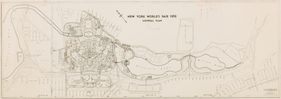
New York World's Fair 1939. G…
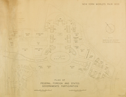
Plan of Federal, Foreign and …
Key
map
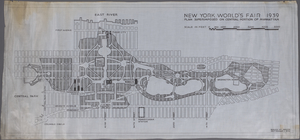
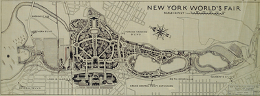
New York World's Fair 1939. G…
General Plan of the Fair, Sec…
Fairgrounds plan
m
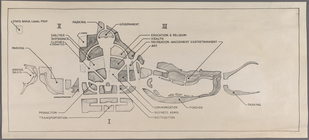
Space Allocation Diagram
m
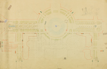
Plan superimposed on central …
m
Fairgrounds plan with compass…
m
Negro anthology: 1931-1933
m
Once a wilderness, a novel.
topic:
Maps
Nastoiashchee I budushchee Ka…
Manhattan, first city in Amer…
collection:
Maps
of New York City and State
m
Romantic and historic Maine.
topic:
Maps
Map
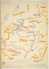
of Pfalz
Map
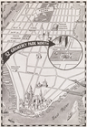
showing "52 Gramercy Park North"…
m
Knickerbocker Village
Patroonships, manors and seig…
note:
… keyed to
map
and inset
Staten Island, N.Y., ed. of F…
collection:
Maps
of New York City and State
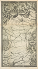
Il delta del Po, la Laguna Ve…
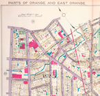
Parts of Orange and East Oran…
image:
ps_
map
_cd7_085
m
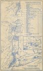
Hagstom's
map
of Long Island New York
Plate 2, Part of Section 1: […
Plate 4, Part of Section 1: […
Plate 6, Part of Section 1: […
Plate 8, Part of Section 1: […
Plate 10, Part of Sections 1 …
Plate 12, Part of Section 1: …
Plate 14, Part of Section 1: …
Plate 16, Part of Sections 1 …
Plate 191, Part of Section 8:…
Plate 18, Part of Sections 1 …
Outline and Index
Map
of Volume Two
1
2
…
6
7
8
9
10
11
12
13
…
115
116
Previous
Next
1
2
…
6
7
8
9
10
11
12
13
…
115
116
Previous
Next